Earth Science and Environmental Applications
1. Assessment of the Impact of Urban Forest on Water Quality
The objective of this research is to investigate the relationship between land cover patterns and the water quality of streams in the High Rock Lake Watershed, located at the headwaters of the Yadkin-Pee Dee River Basin. Land use activities and resulting land cover patterns play a key role in driving change in the water quality of surface hydrology within this study area.
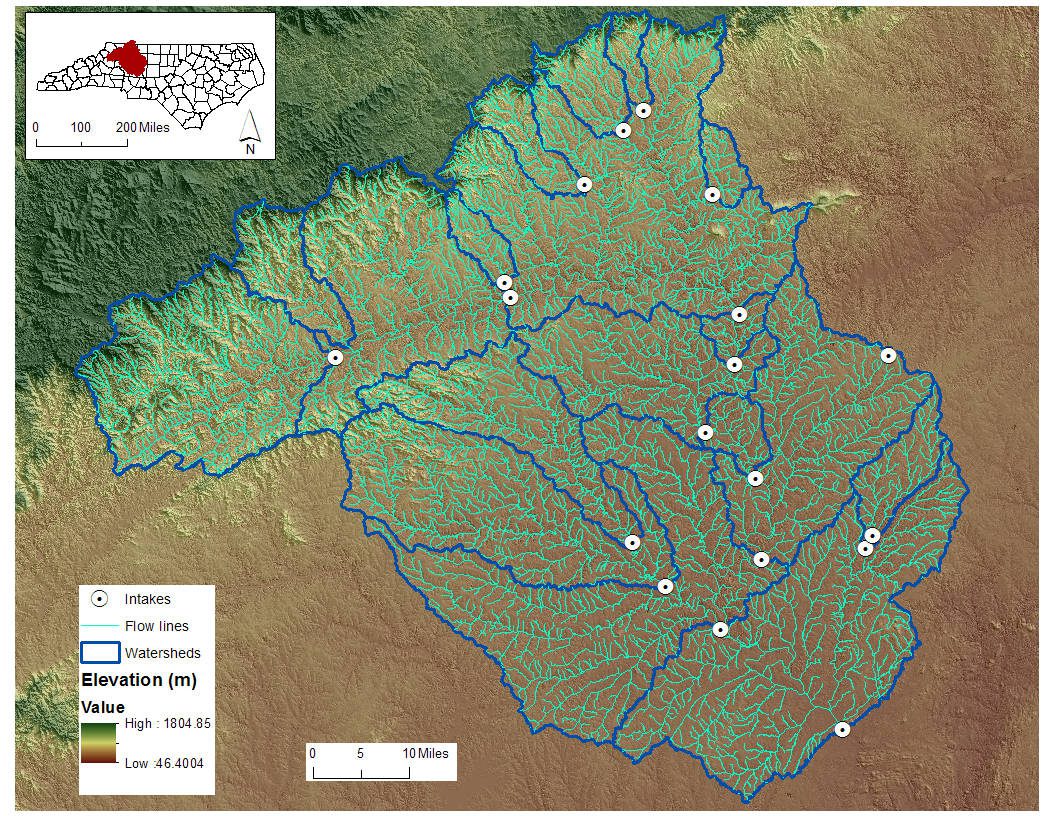
Figure 1. Watersheds and intake points in the High Rock Lake Watershed of North Carolina
2. Wetland Prediction Modeling
Wetlands are important natural resources providing many positive ecological services. Thus it is important to identify the spatial distribution of wetland. However, conventional wetland inventory method is time-consuming and subjective. GIS-based wetland prediction model could help us identify wetland location in a more efficient and objective way.
We develop a GIS tool based on scientific workflows to automatically generate spatial variables that are important for predicting wetlands. We develop a decision tree model for wetland prediction with higher accuracy than a logistic regression approach.