Open Source Geospatial Laboratory

Welcome to OSGL@CAGIS !!
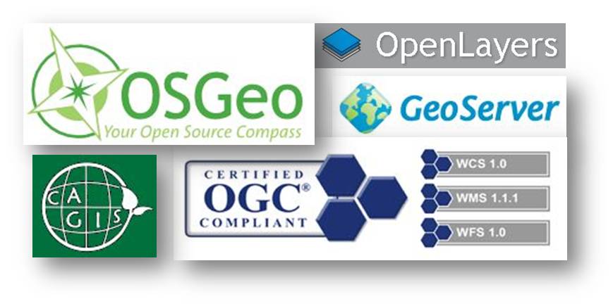
The Open Source Geospatial Laboratory at the Center for Applied GIScience (OSGL@CAGIS), established on September 5th, 2013, is a joint initiative of the International Cartographic Association (ICA) and the Open Source Geospatial Foundation (OSGeo).
As a member of OSGeo founding laboratory, the OSGL@CAGIS places its emphasis on the 1) development of open source GIS software packages and 2) application of these software packages and associated data as well as standards into geospatial studies. We are seeking collaboration opportunities with academic institutions, private sectors, and government agencies related to open-source GIS (development and application).
Projects using Open Source GIS
- Santee GIS (an open-source Web-GIS portal developed for Santee Experiment Forest, USDA Forest Service)
- LOAM GIS (Locationally Aware Mobile GIS; coming soon)
- OnTAPP (Online Toolkit for the Analysis of Point Patterns; coming soon)
Courses offered using Open Source GIS
- WebGIS (Geoserver, OpenLayers, uDig, WMS, WCS, WFS, WPS) (Tang)
- Agent-based Modeling of Complex Adaptive Spatial Systems (Tang)
- Medical Geography (Delmelle)
Publications
- Check out this link for publications
Training
Team
- Lead: Wenwu Tang
- Faculty: Wenwu Tang, Eric Delmelle, Gang Chen
- Graduate Students: Minrui Zheng, Yu Lan, Wenpeng Feng, Ran Tao
- Research Scientist: Meijuan Jia
* OSGeo is a not-for-profit organization founded in 2006 whose mission is to support and promote the collaborative development of open source geospatial technologies and data.
* ICA is the world authoritative body for cartography, the discipline dealing with the conception, production, dissemination, and study of maps.