CAGIS virtual seminar: Using Remote Sensing (incl. Drones) to assess Risk [Mills]

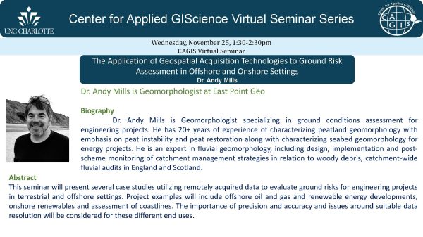
Please join us this Wednesday at 1:30 when we hear Geomorphologist Dr. Andy Mills talk about assessing risk for engineering projects using cutting-edge technologies. The Application of Geospatial Acquisition Technologies to Ground Risk Assessment in Offshore and Onshore Settings Abstract
This seminar will present several case studies utilizing remotely acquired data to evaluate ground risks for engineering projects in terrestrial and offshore settings. Project examples will include offshore oil and gas and renewable energy developments, onshore renewables and assessment of coastlines. The importance of precision and accuracy and issues around suitable data resolution will be considered for these different end uses