Homepage


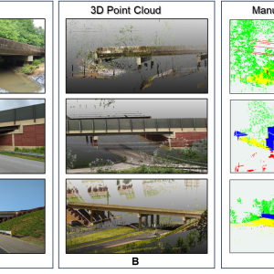
CAGIS is pleased to announce a new article published in Remote Sensing by Tianyang Chen, Wenwu Tang, Shen-En Chen, Craig Allan, and Navanit Sri Shanmugam. The study explores how Geospatial Artificial Intelligence (GeoAI) can help computers understand detailed 3D laser scans of bridges and surrounding environments. These scans contain millions of individual data points representing […]

Charlotte, NC — The Center for Applied Geographic Information Science (CAGIS) is pleased to highlight recent student research presented at the 2026 UCGIS Symposium, held June 15–18, 2026, at the University of Maryland, College Park. This year’s symposium, themed “AI Everywhere!,” brought together the GIScience community to explore how artificial intelligence is reshaping geospatial research, […]
The Center for Applied GIScience (CAGIS) at UNC Charlotte is pleased to support students participating in the Research Experiences and Mentorship in Urban Systems (REMUS) program. As part of their summer research experience, these students are using CAGIS resources to support their work in geospatial research, applied GIScience, data-driven analysis, and urban systems studies. The […]
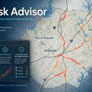
Charlotte, NC — Researchers at the Center for Applied Geographic Information Science (CAGIS) have received funding from the Transportation Research Board’s Rail Safety IDEA program for a new project titled RailRisk Advisor: A Web-GIS Tool for Assessing Railroad Trespassing Risk and Recommending Countermeasures. The 18-month, $100,000 project will begin on July 1, 2026, and will […]

The Center for Applied GIScience (CAGIS) is pleased to announce that the project “Digital Twins for Public Health: Coupling Human Mobility and Airflow Dynamics for Indoor Viral Transmission” has received $16,000 in funding from the UNC Charlotte School of Data Science. The project is led by Dr. Yao Li, Dr. Xuyang Li, and Dr. Don […]
CONTACT US
Executive Director
Wenwu Tang
McEniry 302
704-687-0731
WenwuTang@charlotte.edu