Celebrating GIS Day 2025!

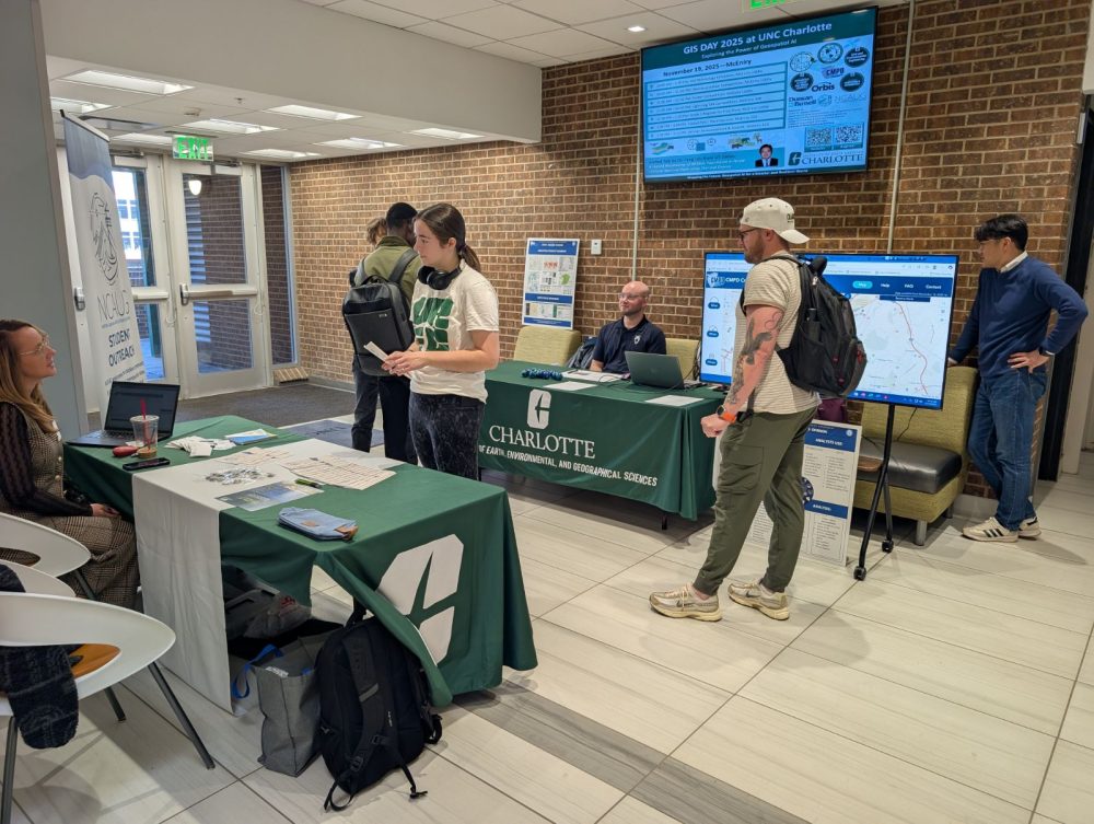
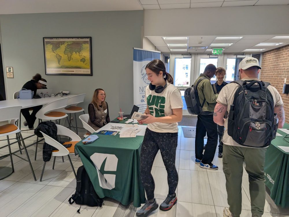
Thanks everyone who joined us in recognizing the power of GIScience and the amazing community behind it. This year’s GIS Day was our most dynamic yet, filled with creativity, collaboration, and excitement!
📊 Event Highlights
- 52 Registered and voted participants, with even more visitors stopping by throughout the day
- 20 Participants to 3 student competitions, with 8 winners.
- 4 Sponsorships from departments and colleges support expense in the GIS Day event.
- 3 companies and organizations who attended and provided gifts, resources, and insights for our students
Your engagement made the event vibrant and inspiring!

Competition Winners
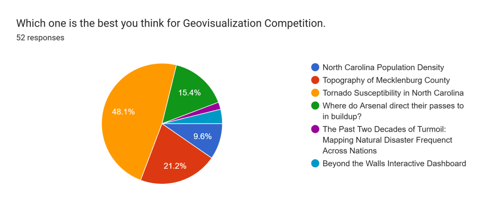
GeoVisualization Competition
Undergraduate Competition
🥇 Monica Layug — BRIDGING THE GAP: Healthcare Access in Mecklenburg County
Graduate Competition
🥇 Gretchen Gillenwater — Tornado Susceptibility in North Carolina
🥈 Jace Roberts — Topography of Mecklenburg County
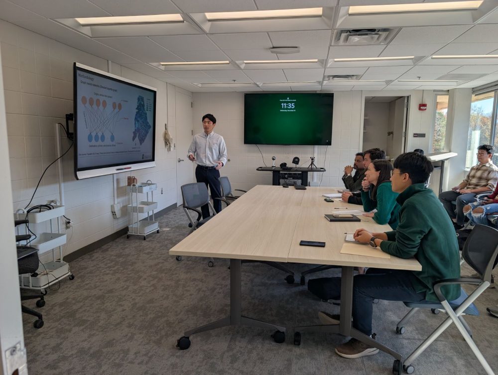
Lightning Talk Winners
🥇 Dylan Toh — Graph Attention Networks for Spatial Accessibility: Revisiting the Role of Distance Decay
🥈 Yunsik Kim — Utilizing Machine Learning to Predict the Number of Stores that Open or Close Each Year
Great job delivering impactful ideas in just a few minutes!
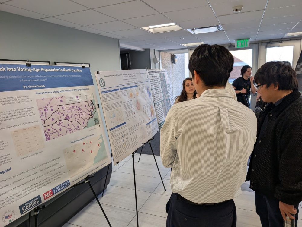
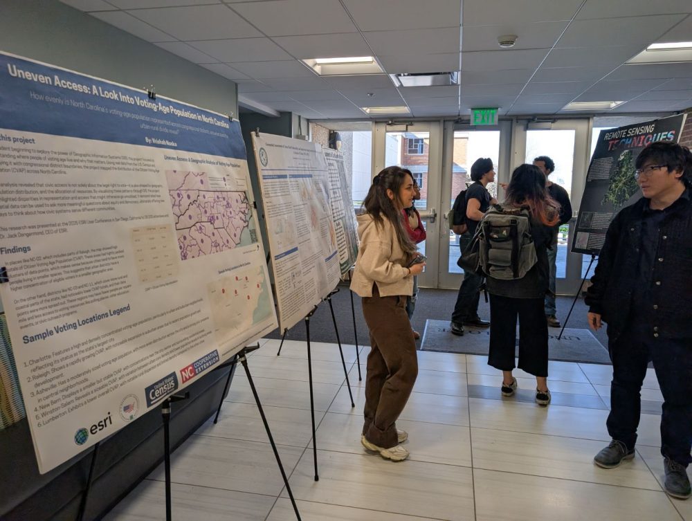
Poster Competition Winners
🥇 Pegah Madadi — Geospatial Assessment of Urban Flood Vulnerability and Impervious Surface Growth in Mecklenburg County, NC: A Decade of Change (2011-2021)
🥈 Azad Sadeghi — GIS-Enhanced Stormwater Infrastructure Mapping: Data Collection and Validation in Fayetteville and Raleigh for the DeepPipe NCDOT Project
🥉 Karen Regalado — More Supermarkets, Fewer Companies in Lusaka, Zambia
🎉 A huge congratulations to all our participants and winners!
Thank you for sharing your passion, your work, and your ideas. And thank you to our sponsors, partners, and attendees for making this celebration possible.
Here is to another successful GIS Day and to the growing community shaping the future of geospatial science! 🌍✨
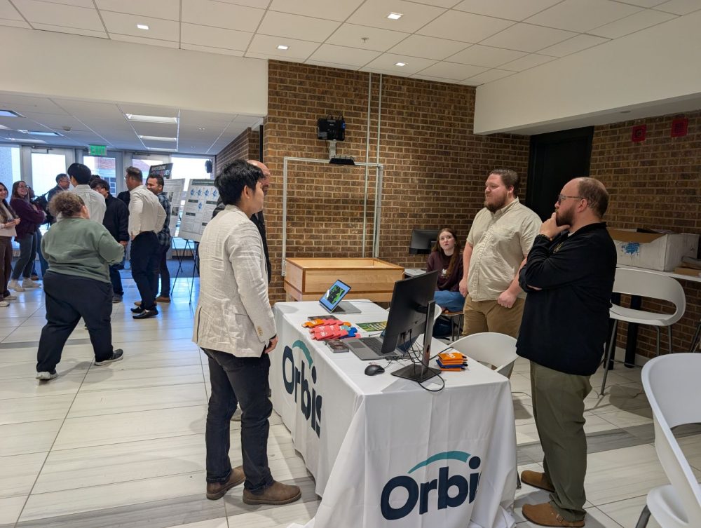
Community & Industry Engagement
A huge thank-you to our community partners who joined us on GIS Day to share their work, engage with students, and provide gifts:
- Charlotte-Mecklenburg Police Department
- Lindsay Flynn and Alexander Younger
- Orbis
- Dustin Stephens and Thomas Buchanan
- North Carolina ArcGIS Users Group
- Jackie Dillon and Khalil McGruder
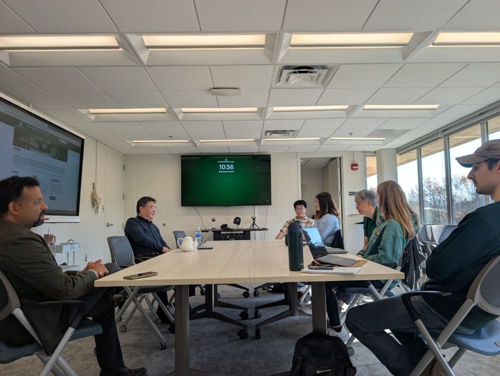
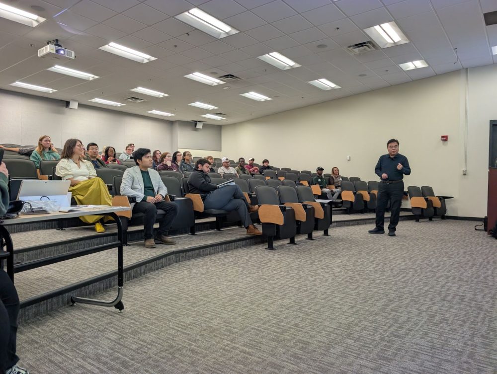
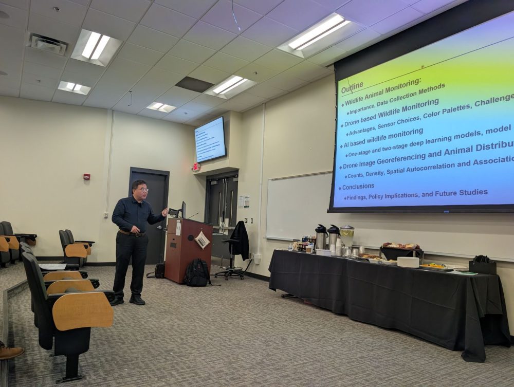
CAGIS & EEGS Distinguished SPeaker Series
We extend our warm appreciation to Dr. Fang Qiu, Professor of Geospatial Information Sciences at the University of Texas at Dallas, for serving as our distinguished invited speaker for GIS Day. Dr. Qiu delivered an engaging and insightful talk on “AI-based Monitoring of Wildlife Population in Nepal Chitwan National Park using Thermal Drones,” offering a compelling look at how geospatial AI, thermal imaging, and remote sensing technologies can support wildlife conservation and environmental research.
In addition to his lecture, Dr. Qiu participated in a roundtable discussion with students and faculty, creating a productive environment for deeper conversation, questions, and collaborative thinking. His willingness to engage with our community, share his expertise, and discuss cutting-edge geospatial research made a meaningful impact on everyone who attended.
Thank you, Dr. Qiu, for your time, inspiration, and dedication to advancing the field of geospatial science. Your visit greatly enriched this year’s GIS Day celebration!
Thanks to Our Volunteers
Thank you for your hard work in setting up, coordinating activities, supporting participants, and ensuring everything ran smoothly.
- Azad Sadeghi
- Jiaxin Liu
- Leah Handrick
- Nic Koops
- Phillip C. Strickland
- Qifan Zhao
- Rachel Caron
- Sophia Gerz-Escandón
Special Thanks to Our Sponsors
We deeply appreciate the generous support from the following units, who helped make this event possible:
- Center for Applied GIScience
- Department of Earth, Environmental, and Geographical Sciences
- Department of Civil and Environmental Engineering
- College of Humanities & Earth and Social Sciences
- College of Computing & Informatics
University of North Carolina at Charlotte
GIS Day Organization Committee
Drs. Tianyang Chen, Youngseob Eum, Yao Li, Jordan Blekking, and Wenwu Tang.