GIS Day 2026 Celebrates Student Achievement and Community Connections at UNC Charlotte
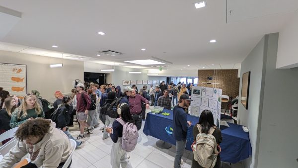
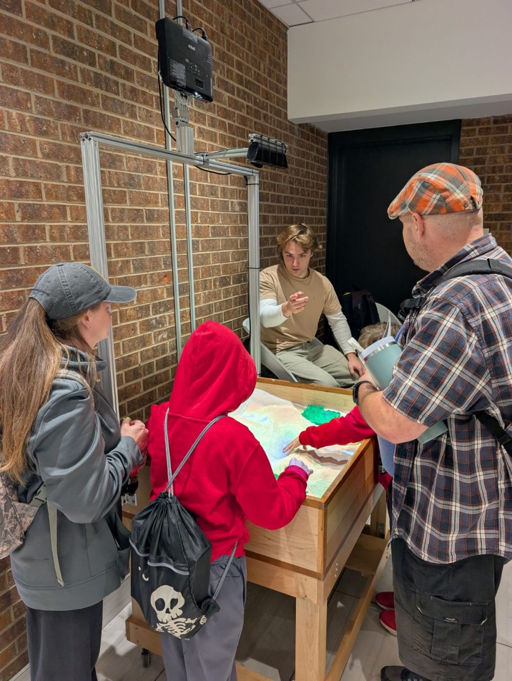
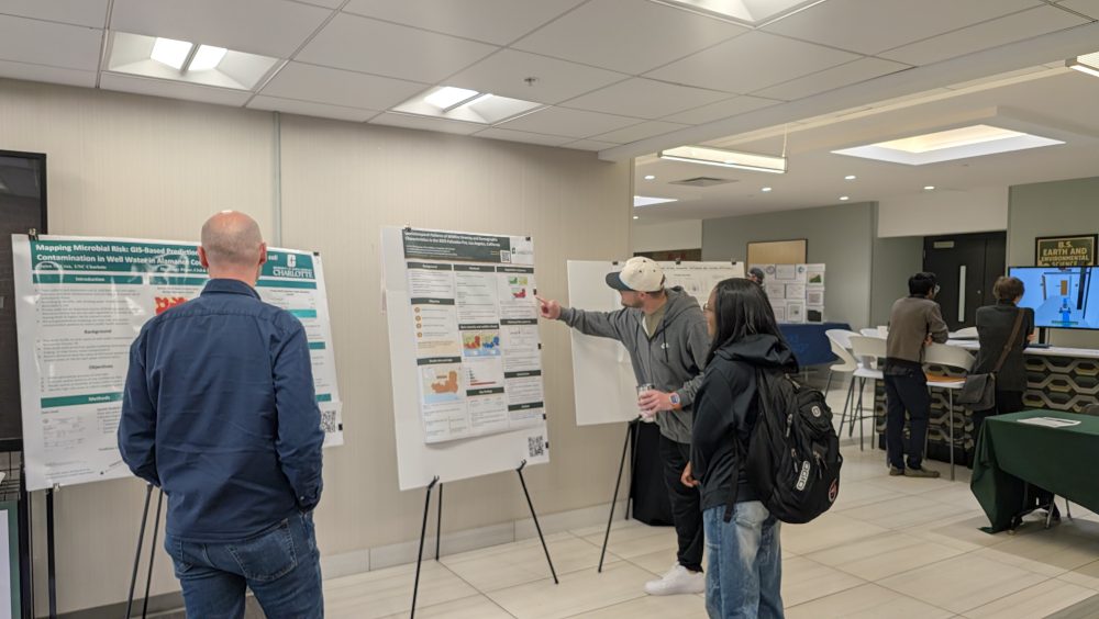
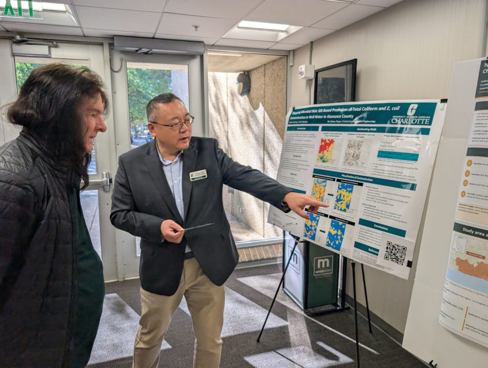
UNC Charlotte’s GIS Day brought students, faculty, staff, and community partners together on November 18, 2026, in the McEniry Building. Under the theme “Mapping Intelligence: Human + AI for Real-World Impact,” participants explored geospatial technology through student competitions, industry presentations, exhibitions, and demonstrations.
Hosted by the Department of Earth, Environmental and Geographical Sciences and the Center for Applied Geographic Information Science (CAGIS), the event connected student learning and research with professional applications of GIS.
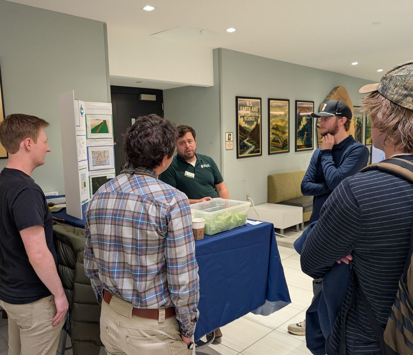
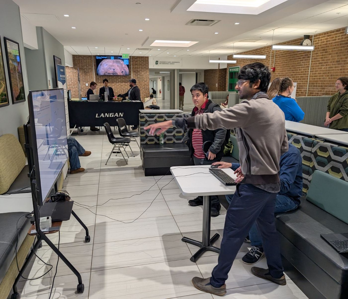
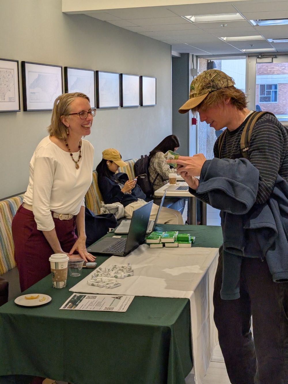
Congratulations to our student competition winners:
- Poster Competition: Ravi Thapaliya — graduate first place; Jace Roberts — graduate second place; Quinn McCrea — undergraduate first place.
- AI Interactive GeoVisualization Competition: Jayanta Biswas — first place; Yunsik Kim — second place; Ravi Thapaliya — third place.
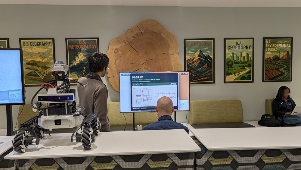
- Rover Navigation Challenge: Alden Sanderson — first place; Christian Jett — second place; Ebenezer Boakye Yiadom — third place; Anupom Rose — fourth place; Sayan Paul — fifth place.
We thank every student who entered a competition and shared their work, ideas, and enthusiasm.
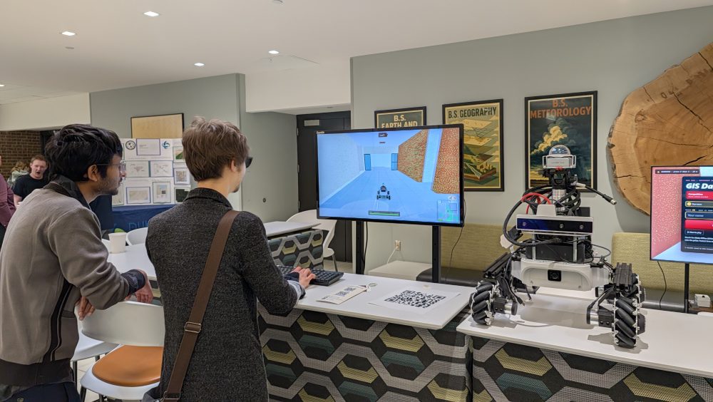
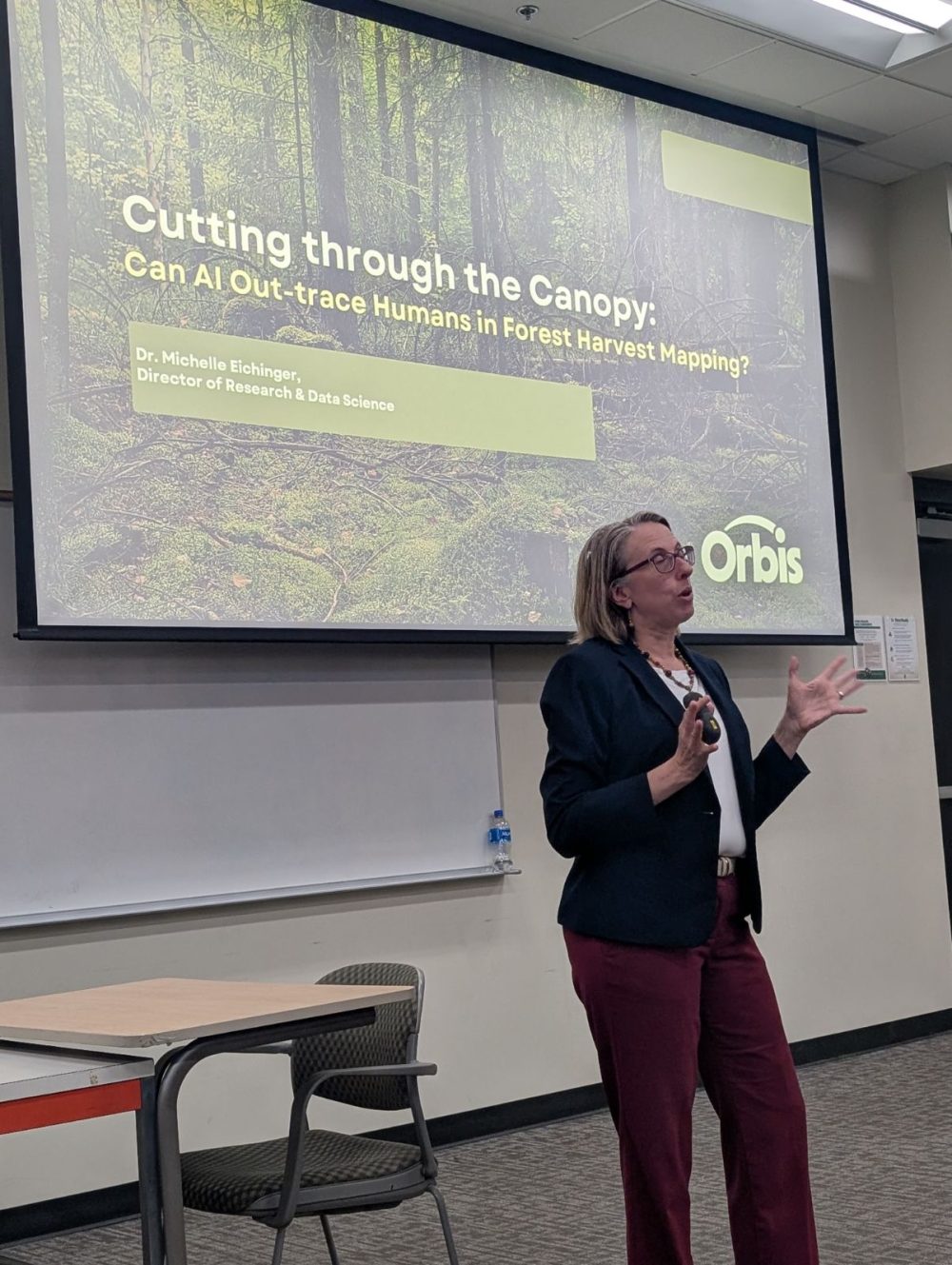
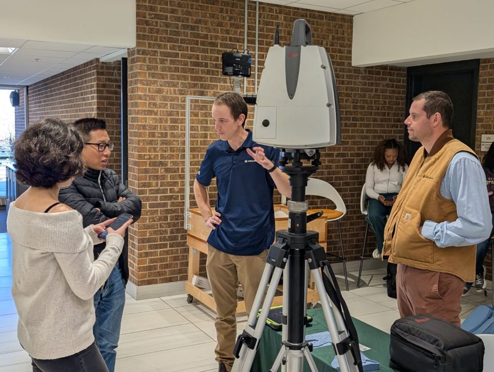
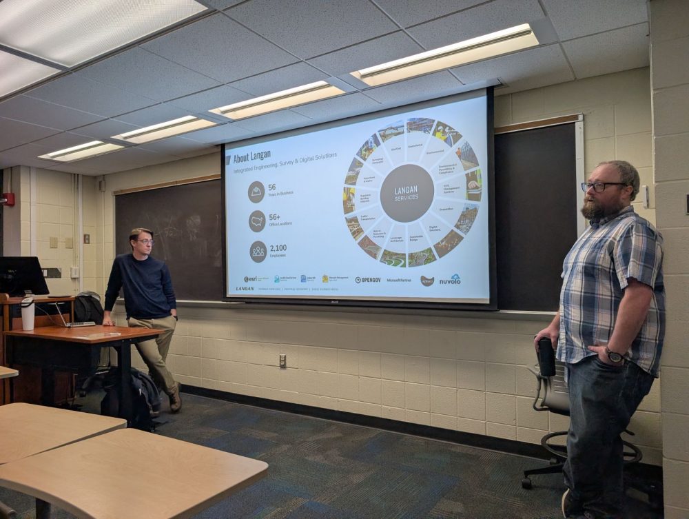
Blake Pierson and Carl Flint from Langan presented “GeoAI in the Modern GIS Industry,” while Dr. Michelle Eichinger from Orbis shared her team’s work on AI for forest mapping. WithersRavenel demonstrated terrestrial LiDAR scanning with a live scan of the McEniry lobby.
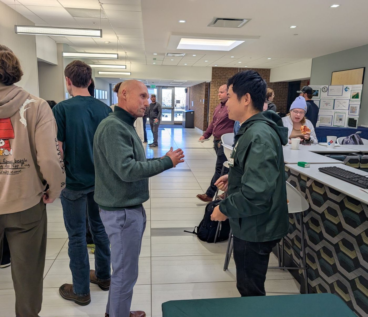
We also extend our appreciation to all six exhibition partners for connecting with our students and faculty and sharing their professional experience:
- Orbis, Inc.
- Langan Engineering and Environmental Services, LLC
- Duke Energy
- WithersRavenel
- North Carolina ArcGIS Users Group Inc. (NCAUG)
- City of Charlotte Planning GIS Team
Special thanks go to Orbis, Inc. and Langan Engineering and Environmental Services, LLC for sponsoring student competition awards. We also gratefully acknowledge event support from UNC Charlotte’s Department of Earth, Environmental and Geographical Sciences and College of Humanities & Earth and Social Sciences. This marked Orbis’s second year supporting our GIS Day.
Our student volunteers—Abel Bogale, Alden Sanderson, Azad Sadeghi, Jayanta Biswas, Melissa Harmon, and Pegah Madadi—provided essential help with publicity, setup, presentations, exhibitor support, refreshments, and event operations.
Thank you to the organizing committee—Tianyang Chen, Wenwu Tang, Yao Li, Youngseob Eum, and Jordan Blekking—and to Sara A. Gagné, Teena Power, Lisa Pickett, and Rachel Smith for their departmental and administrative support.
Thank you to everyone who participated and helped make GIS Day possible. We look forward to continuing these connections across campus and with our wider GIS community.