CAGIS Welcomes Envirothon Students for Geospatial Technology Demonstrations
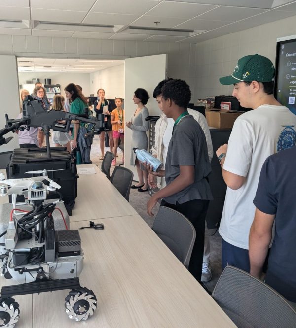
On October 16, 2026, the Center for Applied Geographic Information Science (CAGIS) at UNC Charlotte welcomed K-12 students for a visit organized as part of the Department of Earth, Environmental and Geographical Sciences (EEGS) Envirothon outreach activities. The session introduced students to geospatial technologies through demonstrations of drones, an interactive sandbox, and a ground robot.
Dr. Tianyang Chen introduced CAGIS’s drones and demonstrated the interactive sandbox, connecting the equipment with concepts in GIS, remote sensing, and environmental research. Dr. Yao Li demonstrated a ground robot, giving students an additional opportunity to learn about the technologies used in the center’s research. The demonstrations provided an accessible introduction to geospatial science and robotics.
The visit was coordinated in collaboration with the UNC Charlotte student chapter of the American Society for Photogrammetry and Remote Sensing (ASPRS). Chapter President James “Sam” Penry helped organize the session and provided LiDAR visualization materials. ASPRS board members Becc Hernandez-Lopez, Morgan Williams, Josiah Williams, Carmen Palao, and Alden Sanderson supported the visit. Josiah Williams also photographed the activities.
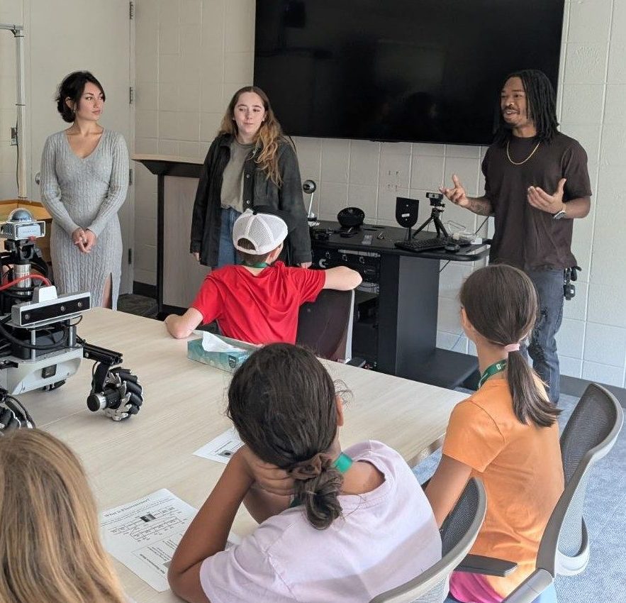
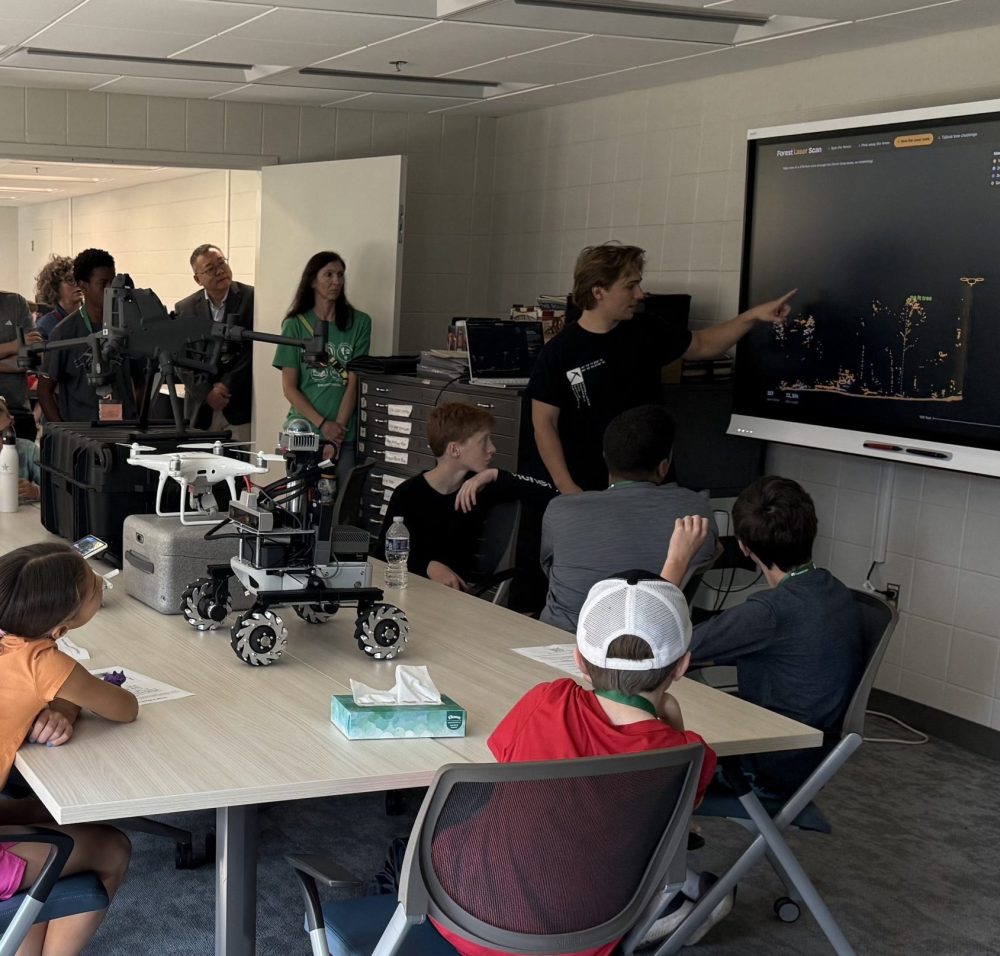
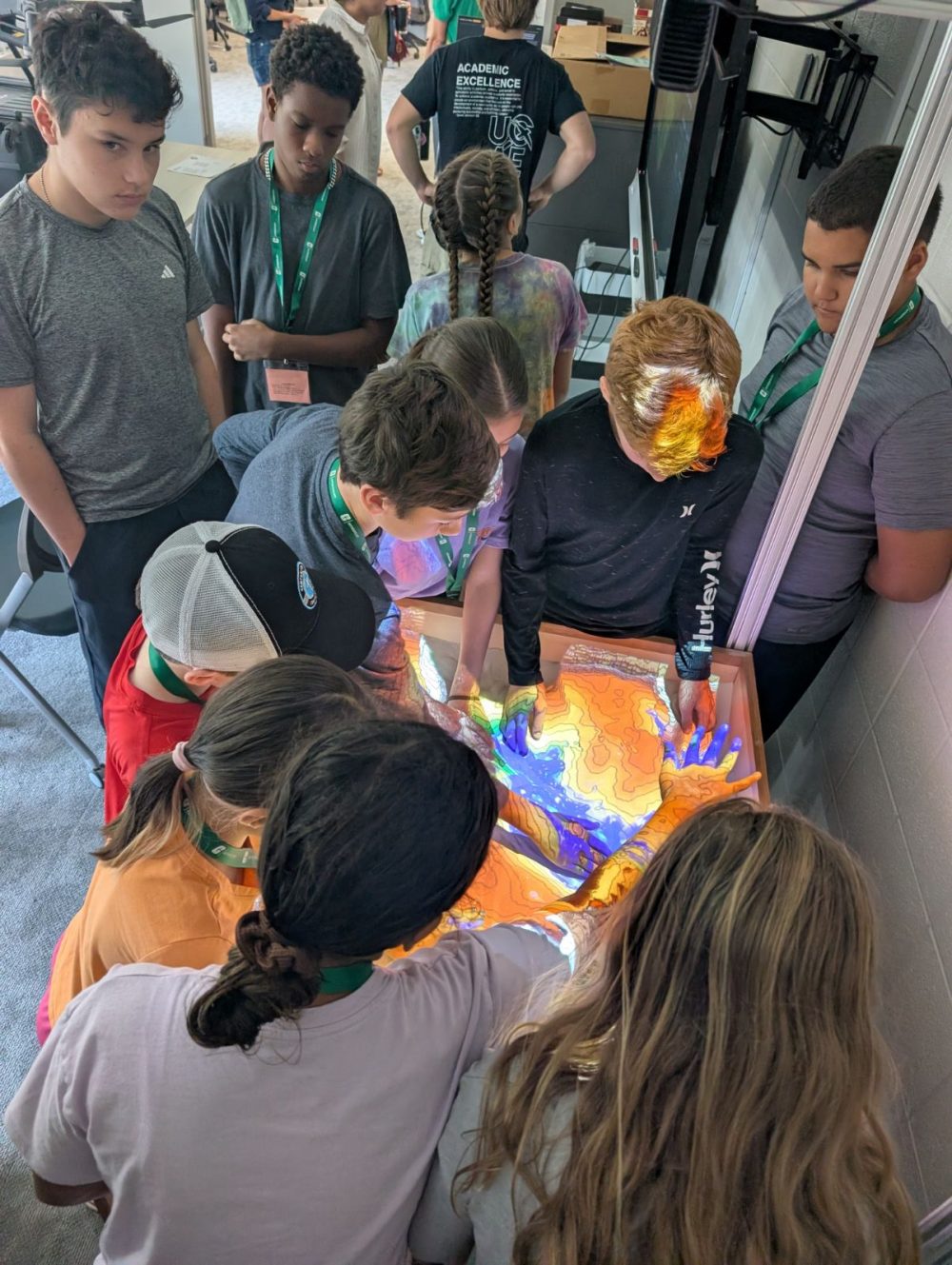
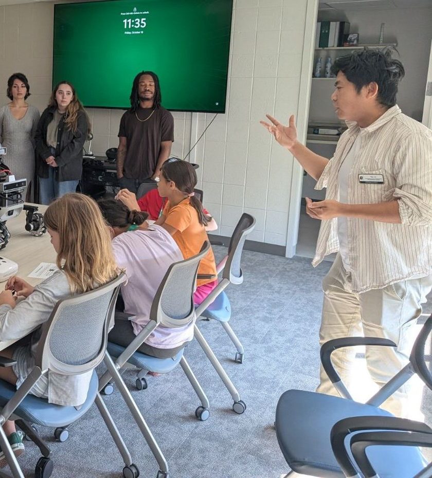
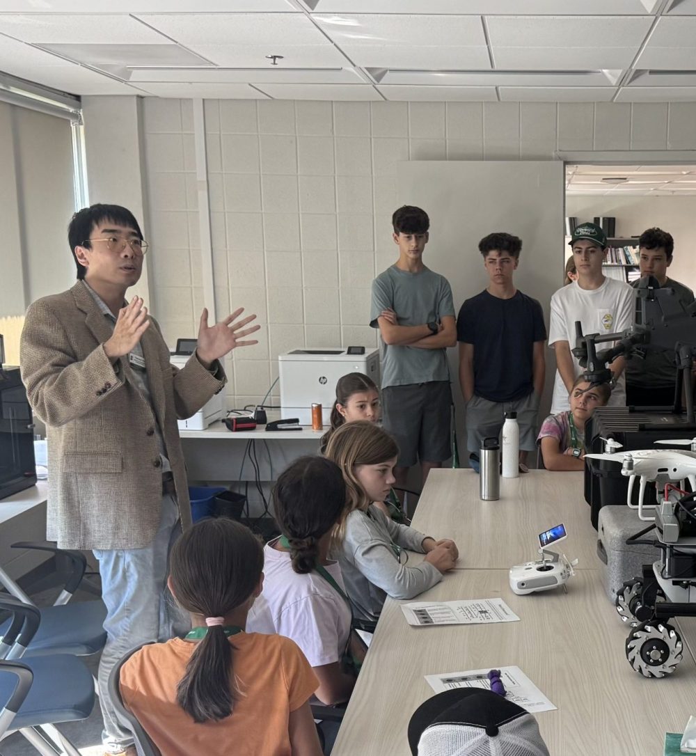
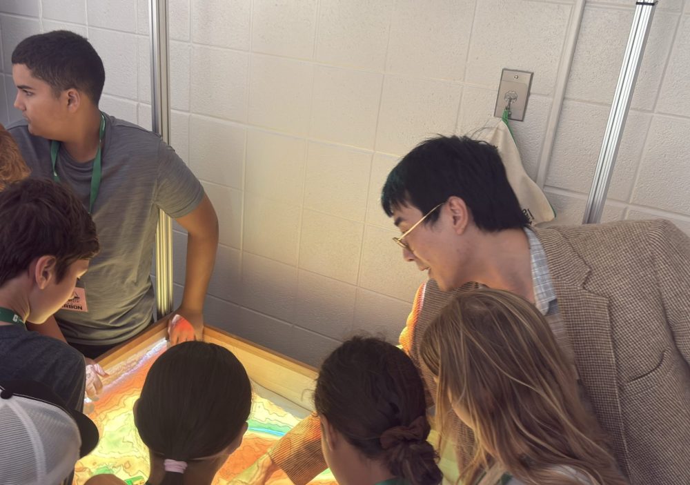
CAGIS thanks Dr. Sara Gagné and the EEGS organizing team for coordinating the broader Envirothon visit, Dr. Wenwu Tang for supporting CAGIS’s participation, and the ASPRS student chapter for its collaboration. The event offered younger students a closer look at university research and opportunities to explore their interests in geography, environmental science, and technology.
Photos courtesy of Josiah Williams.