CAGIS-GeoSAN receives new award to develop Mangrove Spatial Decision Support System
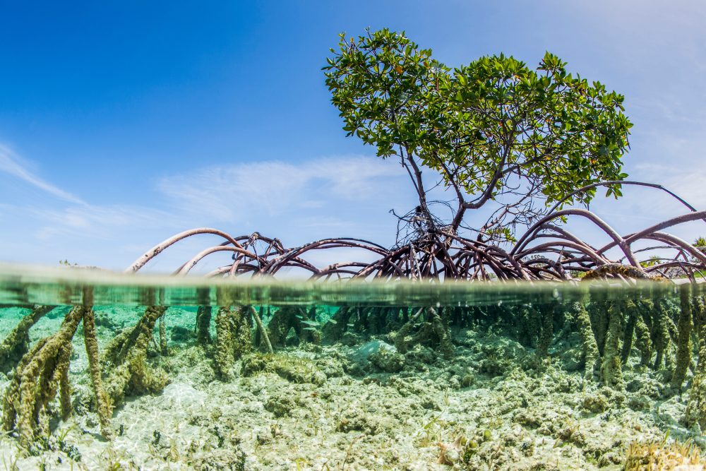
Mangrove forests, which grow in the coastal wetlands of the tropics and sub-tropics, provide essential ecosystem services to humans, ranging from the mitigation of shoreline erosion, to housing nurseries for commercially important fish & shellfish, and by filtering pollutants from land-based runoff. Despite the protective role they play, mangroves worldwide have experienced significant decline, driven by unsustainable coastal development, deforestation for aquaculture and agriculture, and rising sea levels.
As in many natural resource dilemmas, a resource must be measured in order to be effectively managed. This project will use geospatial data analytics and mapping to create an inventory of mangrove forests currently in the Parque Nacional Monte Cristi in the Dominican Republic. This study will confirm mangrove extent, and conduct an objective inventory to assess composition and structure of mangroves, thereby providing a basis for estimating biomass, carbon stocks, and site conditions. Next, a Spatial Decision Support System (SDSS) will be developed to allocate fieldwork plots and optimize field inventory. Ultimately, data including maps of mangrove area, mangrove canopy height class distribution, and canopy height, will be accessible through the SDSS by researchers and decision makers, and inform policy regarding the protection and restoration of these vital ecosystems.
2023-2024, USDA Forest Service, Mapping of mangrove inventory in Dominican Republic, ($49,773), [PIs: Wenwu Tang]