About Us
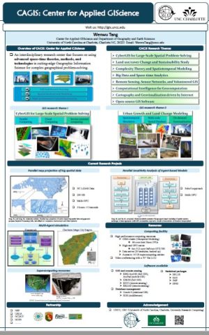
CAGIS is an interdisciplinary research center that focuses on using advanced space-time theories, methods, and technologies in cutting-edge Geographic Information Science to address pressing multi-scale resource and sustainability issues. Based on the synergistic coupling of spatiotemporal and computational thinking, major research themes of CAGIS consist of:
- CyberGIS for large-scale geographical problem-solving
- Land use/cover change, and coupled human and natural systems (CHANS)
- Urban resilience, sustainability, and complexity
- Big data and space-time analytics
- Remote sensing, sensor networks, and volunteered geographic information
- Computational intelligence for geocomputational modeling
- Cartography and geovisualization driven by Internet
- Open-source GIS software
CAGIS has unique strength in these cutting-edge research themes and has intensive interest in their applications in alternative spatially integrated domains, including
- Environmental studies
- Ecology
- Earth science
- Hazard/Disaster
- Hydrology
- Public Health
- Social science
- Transportation
- Urban regional analysis and policies.
The outreach mission of CAGIS is to foster and facilitate the application of geospatial data and analytical solutions transformed from its research outcomes to serve the need of faculty and students across the University, and external stakeholders from local to national levels. CAGIS seeks to sustain and foster partnerships with a wide audience of stakeholders and decision makers for community engagement through the provision of technical and research expertise in GIS-based spatial analysis and modeling.
Click here for a 2-page CAGIS brochure
Click here or below for a poster that introduces CAGIS